
by John Lopez
CA State Lic. Concrete & Masonry C-8
CA State Lic. General Construction - B
Buckaroo Banzai the Concrete Nerd
Actual person performing the job
Date: Mar 07, 2024
Reduce Pedestrian Crashes by 65%: Walk Wilmington Encourages Council to Consider Additional Sidewalks
According to the North Carolina Department of Transportation, Wilmington has continuously had one of the state's highest pedestrian crash rates. A pedestrian plan provided to the city to minimize the rate said that many accidents occur in regions with larger numbers of minority populations and poverty rates than the countywide average.
Between 2001 and 2005, there were 32.52 pedestrian crashes per 10,000 people within the city borders. The number of pedestrians injured or killed by vehicles while on foot has reduced since 2009 research. From 2010 to 2020, there were 48 crashes per 100,000 people. However, it is worth noting that between the two studies, the total population increased by almost 20,000.
Between 2016 and 2020, the city had an average of 75 occurrences and three fatalities each year, with a population of approximately 115,000.
In 2019, Wilmington had the highest number of pedestrian crashes in the state. "The goal is to drop down and not be a leader in that," Alta Planning Vice President and East Regional Director Matt Hayes told the city council on Tuesday. Alta Planning, located in Durham, was engaged in early 2022 for $142,500 to enhance the city's 2009 pedestrian plan. An NCDOT integrated transportation division grant covered half of the cost, with the city matching the other half.
Fourteen years later, more than 200 sidewalk, roadway, and crossing projects have been funded, developed, and finished. However, that is barely half of the suggested improvements outlined in the decades-old policy.
Since then, the city has continued to make investments in bike and pedestrian lanes. The 2014 transportation bond provided $18.6 million for sidewalks, trails, bike and pedestrian projects, and crosswalks. Additional multi-use trails have been built in conjunction with state transportation projects.
Installation of New Sidewalks in Suburban
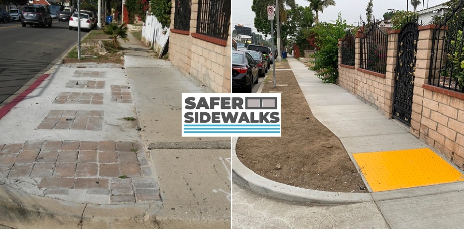
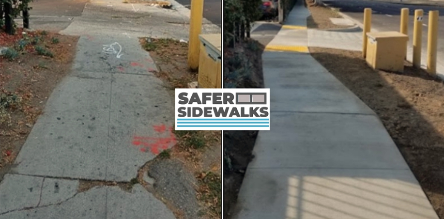
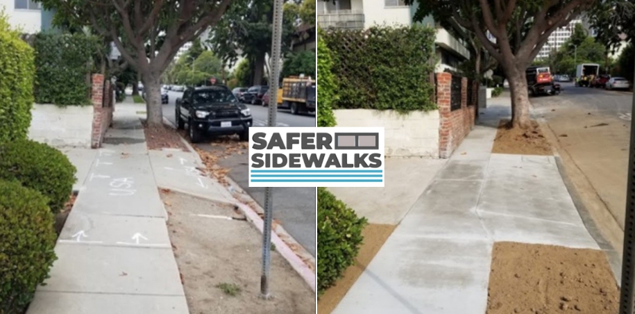
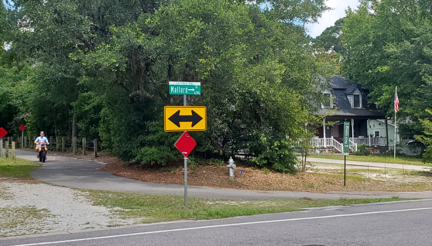
However, more connectivity is still required, according to Alta. The findings revealed that many new sidewalks have been installed in suburban neighborhoods, leaving holes in the city's trail system. Urban roadways have the least pedestrian infrastructure and are therefore the most likely to be involved in accidents.
According to the data obtained, the majority of incidents occur on a tiny number of routes; 50% of crashes occurred on 10% of city roads, including major thoroughfares like Market Street, Kerr Avenue, College Road, Third Street, Carolina Beach Road, and Oleander Drive.
According to the study, Wilmington's low-income communities are more likely to have gaps in the sidewalk network since the infrastructure in such regions is scant; many sidewalks may be found in newer subdivisions instead.
Alta's research also found that those who must walk to work and shop due to financial constraints are more likely to be hit; 91% of crashes occurred in locations with poverty rates higher than the county average of 11.9%.
The updated Walk Wilmington Plan recommends building sidewalks to avoid crossing major highways, which would reduce crashes by 65% to 89%.
For example, from 2011 to 2021, the deadliest route was Wooster and Dawson from Third Street to Oleander Drive, with 62 reported collisions. Thirty-three events included pedestrians only, while 29 involved bikers. Seventy percent of the victims in this area were black.
Walk Wilmington advises focusing on projects along ten priority routes, the majority of which are high- to medium-capacity streets.
Market Street from 23rd Street to Darlington Avenue, Darlington Avenue to Lullwater Drive, and Lullwater Drive to College Road:
-
Kerr Ave. runs from Market Street to Wilshire Boulevard, while College Road connects Oleander Drive to Jeff Gordon Drive.
-
Following Third Street from Red Cross Street to Wooster Street are Dawson Street and Oleander Street, which run from Independence Boulevard to College Road.
-
Oleander Drive connects Forest Park Road to Victory Gardens Drive.
-
Carolina Beach Road connects Northern Boulevard to Sunnyvale Drive.
-
On an ordinary day, the above streets handle 560 to almost 4,000 people and 100 to 550 bicyclists.
More Sidewalks in Wilmington
Most high-priority connections are located near grocery stores, schools, and healthcare facilities, but there is no traffic control to prevent intersection collisions. According to NCDOT data in the pedestrian plan, junctions account for at least half of all crashes in Wilmington.
From 2011 to 2020, hotspots, according to NCDOT statistics, included UNCW, downtown, Carolina Beach Road, and Oleander Drive. It included significant crashes while accounting for systemic risk factors such as route type, land use, population density, time of day, and demography.
Pedestrian casualties were also more likely to be black than the total proportion of black people in Wilmington.
Walk Wilmington also suggests creating programs with community partners. For example, Alta's plan suggests that the city works with UNCW and the Wilmington Police Department to count non-motorized traffic. The results would give the city a greater understanding of pedestrian patterns and high-activity areas, as well as help track changes over time to prioritize initiatives.
Another option is to form a relationship with the school system to encourage students to walk and bike. According to the Walk Wilmington plan, if 8% more children living within 2 miles of their schools walked or biked, the reduction in air pollution from not driving would be equivalent to eliminating 60,000 automobiles from the road for a year nationwide.
Alta explained to council members the economic benefits of more accessible pedestrian routes. According to studies conducted by the American Association of State Highway and Transportation Officials, sidewalks and bike paths generate 36% more jobs than highway construction.
The study found that providing more pedestrian-safe transit options benefits the public financially, particularly by saving vehicles money on gasoline. According to AAA's 2019 survey, driving 4 miles per day costs the average person $905 per year in fuel and car wear and tear.
Alta began drafting the plan in March of last year, gathering existing conditions on the city's highways before creating a draft network map and report. For nine months, the firm collected stakeholder and community feedback via a poll, an online map, open houses, and attendance at local events.
The city council is likely to adopt the pedestrian plan at its meeting on July 18 after reviewing the draft plan in February. Additional planning and design will follow, as will smart funding allocation and project prioritization.

